NSW Story Mapping Threatened Ecological Plant Communities
NSW Satellite Imagery Hub Story
SATELLITE IMAGERY FOR VEGETATION MAPPING
The role of Planet Imagery in identifying mapping threatened ecological plant communities in NSW state forests
Objectives
Between 2019 and 2024 DPIE in collaboration with the EPA undertook a project to identify and map areas of threatened ecological communities and critically endangered ecological communities within NSW state forests. One of these communities was Coolibah - Black Box Woodland in the Darling Riverine Plains, Brigalow Belt South, Cobar Peneplain and Mulga Lands Bioregions which is typically found on grey, self-mulching clays of periodically waterlogged floodplains, swamp margins, ephemeral wetlands, and stream levees (DPE 2021).
Outcomes
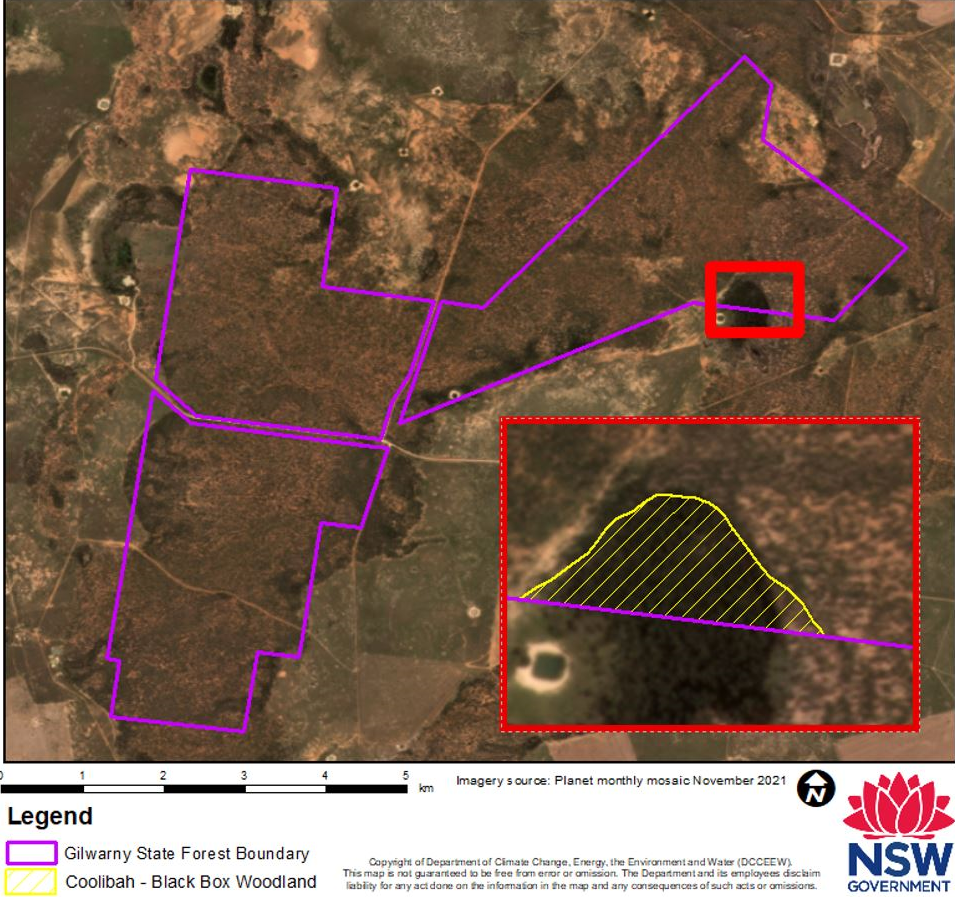
Mapping Coolibah - Black Box Woodland in the Darling Riverine Plains, Brigalow Belt South, Cobar Peneplain and Mulga Lands Bioregions - endangered ecological community
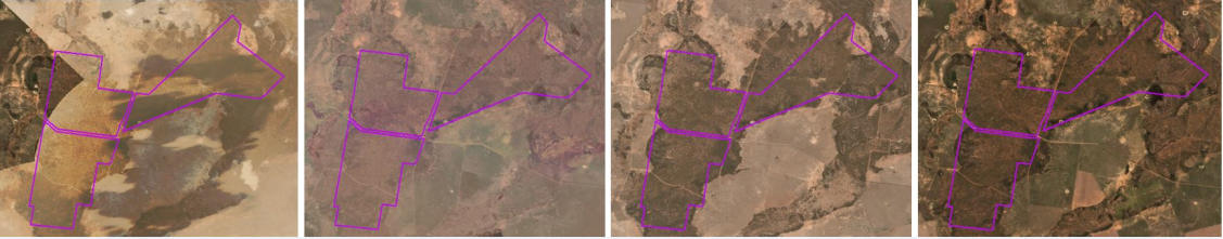
The use of Planet time series monthly mosaic imagery facilitated chronological analysis of largely flat areas, where traditional remote sensing techniques are not sufficiently refined to consistently detect periodic surface water inundation. Access to the Planet monthly mosaics enabled accurate identification of areas for surveying and mapping the Coolibah - Black Box Woodland endangered ecological community. The map below shows how imagery from a particularly wet month (November 2021) month was used to delineate the Coolibah - Black Box Woodland endangered ecological community in Gilwarny state forest, Carinda NSW.
Reference
DPE, 2021, NSW Scientific Committee - Final determination Coolibah - Black Box Woodland in the Darling Riverine Plains, Brigalow Belt South, Cobar Peneplain and Mulga Lands Bioregions - endangered ecological community listing.