NSW Story Central Darling Basin Floods
NSW Satellite Imagery Hub Story

The role of Planet Imagery in assisting Central Darling Basin Floods
Objectives
The impacts of extreme flooding in the Central Darling Shire Council presented challenges for both the community and the environment.
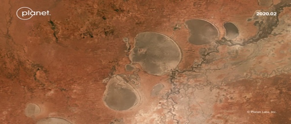
The NSW Satellite Imagery Hub Team provided Planet satellite imagery of the flood affected areas. Central Darling Shire Council utilised this imagery to assist the flood emergency response team analyse and assess damage.
Outcomes
Benefits of timely satellite imagery
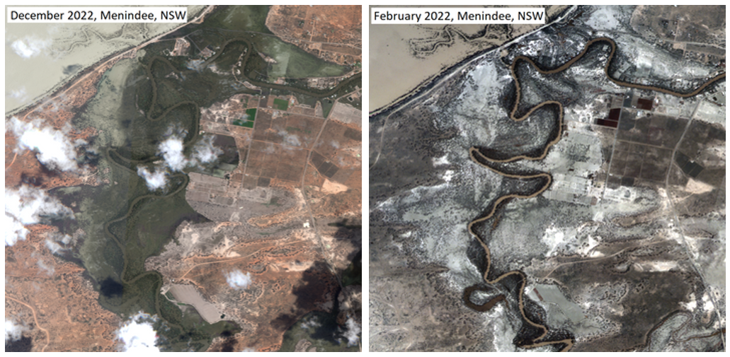
The satellite imagery was used to identify flood affected land and relate this to flood mapping initiatives within the council.
Supporting local councils
Central Darling Council continues to use the satellite imagery for assessment of flood damage, in connection to insurance and ancillary building damage.
Better response, better outcomes
Emergency management is a driving force behind the NSW Satellite Imagery Hub Team to ensure timely satellite imagery is available across all NSW.
Before and After

“This imagery was critical to ensure properties affected by the flood waters could be given support and contacted. The Planet imagery allowed timely delivery given it could be extracted in a nominated timeframe and extent, which is critical to understand the maximum damage of flood water passing through the Central Darling towns.”
