NSW Story Coastal region
NSW Satellite Imagery Hub Story
The role of Planet Imagery in management of coastal region
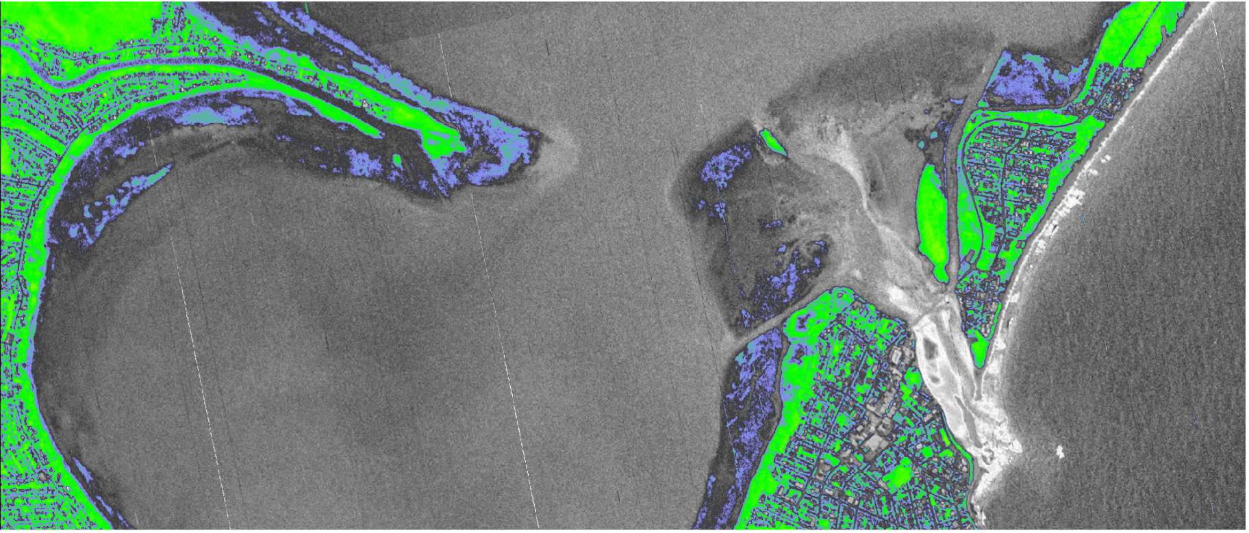
The impacts of coastal erosion can have significant impacts on conservation measures. How steep a beach is can dictate the way the beach interacts with incoming ocean waves for the safety of swimmers.
NSW Department of Planning and Environment supports research into costal monitoring and the archive of PlanetScope satellite imagery for enhanced coastline mapping of the beaches after storm events. The practicality of satellite imagery ensures large lengths of coastlines can be monitored without repeated site visits.
Outcomes
Improved management of beaches
Data is increasingly important to improve management and evaluation of costs and benefits of management strategies for beaches.
A python toolbox, CoastSat.PlanetScope by Yarran Doherty from the UNSW Water Research Laboratory, is available to classify satellite images into sand, water, and whitewater, which is useful for understanding storm damage, tides, erosion.
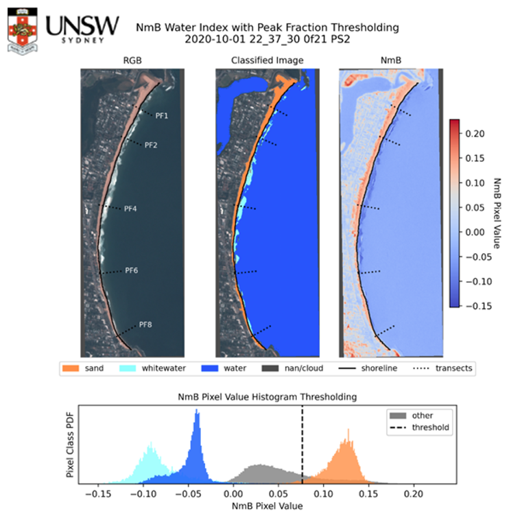
PlanetScope imagery acquired from near-daily satellite availability and has a resolution of 3.7m. For more information, contact [email protected].