NSW Story Menindee Lakes
NSW Satellite Imagery Hub Story

The role of Planet Imagery in mitigating threats to fish habitats near Menindee Lakes
Objectives
Satellite imagery has been used to support conservation of biodiversity and natural hazards in the Menindee lakes region, including droughts, floods and mass fish kill events.
Use of Planet near-daily satellite imagery allowed NSW Fisheries to track pockets of water, and transfer of fish to safe places. During drought conditions this led to prevention of mortality events of Murray Cod.
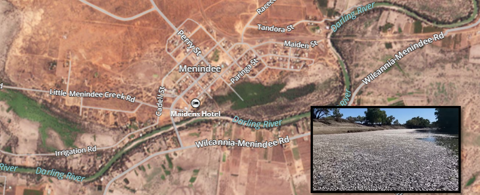
Flooding events and nutrients mobilised by floodwaters led to poor water quality, leading to fish kills in March 2023. PlanetScope was used to access near-real-time imagery of the fish kills during disaster-management.
Outcomes
Prevention of biodiversity loss
Fish kills can occur at any time, requiring continued monitoring of river systems and changes in water quality. The NSW Satellite Imagery Hub Team continues to provide timely satellite imagery available across all NSW to support conservation and natural hazards.
Before and After


Fish kill visible in the Darling River near Menindee, NSW, in March 2023. Imagery displays an influx of flood water (14 March) and visible fish on the river’s surface denoted by the white patches in the river system (17 March).
PlanetScope imagery acquired from near-daily satellite availability and has a resolution of 3.7m. For more information, contact [email protected]
