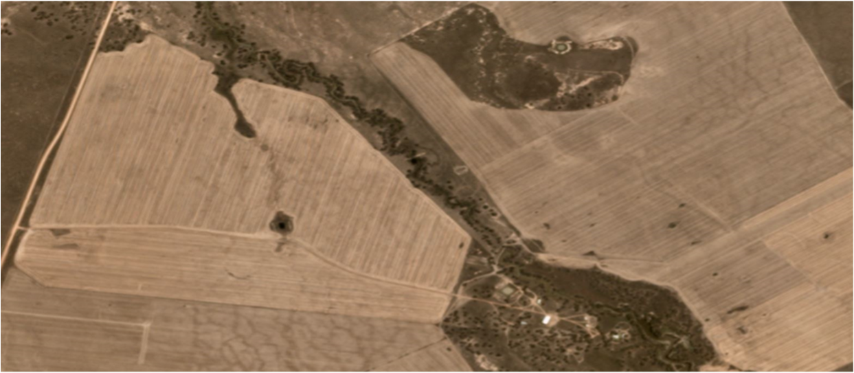
NSW Story SLATS Non-woody clearing
NSW Satellite Imagery Hub Story

The role of Planet Imagery in the SLATS Non-woody clearing detection process
Objectives
Science and Economics and Insights Division generates statewide annual non-woody vegetation clearing information for landcover monitoring and reporting under the amended Local Land Services Act 2013 implemented on 25 August 2017.
Non-woody vegetation clearing method identifies the removal of grasses, small shrubs and groundcover across New South Wales from grasslands that have been relatively undisturbed since 1990.
Outcomes
Land clearing reporting across NSW
The non-woody vegetation clearing program is used to map and report landcover change across New South Wales annually. Report here: Landcover science | NSW Environment and Heritage.
Biodiversity Management
With this data available, policymakers are able to use this information to make better informed decisions on biodiversity for the state of NSW.
Before and After


Linked Datasets
-
This layer shows state-wide SLATS Non-Woody data based on the analysis of multi-date Sentinel2 and Planet Maps imagery for 2018, 2019 & 2020. Non-woody disturbance (removal of g ...
- ZIP