Training Webinars

This webinar is highly recommended for those working in State and Local Government organisations in NSW,…

This webinar is highly recommended for those working in NSW State and Local Government organisations who want to learn how to use and/or analyse downloaded satellite imagery from…

This webinar will outline how satellite and aerial imagery can be integrated to create solutions for State and Local Government users.We will cover:• Introduction to Imagery Hub•…
This webinar aims to give Planet users the tools they need to access Planet SkySat data as part of the NSW Imagery Hub We will cover: Tasking SkySatWhen to request…
This webinar aims to give Planet users the tools they need to integrate Planet data in QGISWe will cover: •Intro to Imagery Hub•PlanetScope vs SkySat products overview…
This webinar aims to give new Planet users the tools they need to navigate Planet Explorer like a Pro!We cover: How to get your Planet accountFinding your API keySearching …
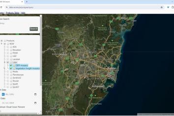
This workshop aims to give DCCEEW staff the tools they need to discover and access a range of imagery products and platforms. We will focus on all the non-Planet …
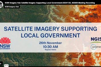
Join NSW DCCEEW and NGIS in our informative webinar on Satellite Imagery for Local Governments. The Department of Climate Change, Energy, Environment and Water (DCCEEW) provide…
The Joint Remote Sensing Research Program Data Access Portal (JDAP) is provided and administered by the Remote Sensing and Landscape Science Branch, a team within the Department of…