Training Webinars
This webinar will introduce you to visual and temporal interpretation of Planet imagery using Planet Explorer, available to all NSW State Government Agencies and Local Councils as…
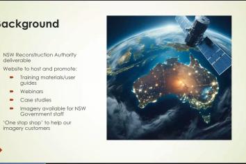
Join us for an introduction to the SEED Imagery Hub website. A place to explore and access the latest information on the NSW Government Satellite Imagery Service.NSW DCCEEW…
Due to popular demand, we are providing a second recording of the Hands-on training. This time we are focusing on the content, delivered at a pace suitable for new users.NSW DCCEEW EHG…
Join us for an introduction to remote sensing using Planet Labs satellite imagery from the NSW Imagery Hub.NSW DCCEEW EHG provide acquisition and delivery of high resolution Planet…
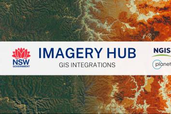
Join NSW DCCEEW Environment and Heritage Group (EHG), NGIS and Planet for a Training Webinar on the GIS Integrations available with NSW Imagery Hub. NSW DCCEEW EHG provide…
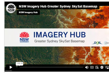
Join NSW DCCEEW Environment & Heritage Group (EHG), NGIS and Planet for a Training Webinar on the NSW Imagery Hub's Greater Sydney SkySat 50cm resolution Basemap, captured during…
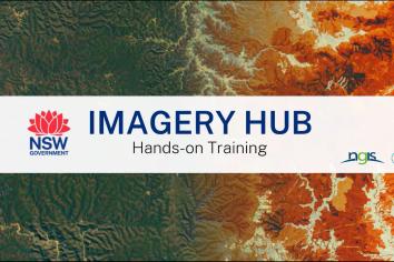
Join NSW DPE and NGIS for a Hands-On Training Webinar on the NSW Imagery Hub. The Department of Planning and Environment (DPE) provide acquisition and delivery of high resolution…
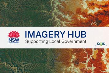
Join NSW DPE and NGIS in our informative webinar on Satellite Imagery for Local Governments. The Department of Planning and Environment (DPE) provide acquisition and delivery of high…
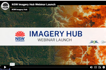
This webinar launches the NSW Imagery Hub, providing details on the vision, mission, program objectives, case studies, training and access options to the NSW Imagery Hub. This also…